Pedestrians, cyclists and horse riders
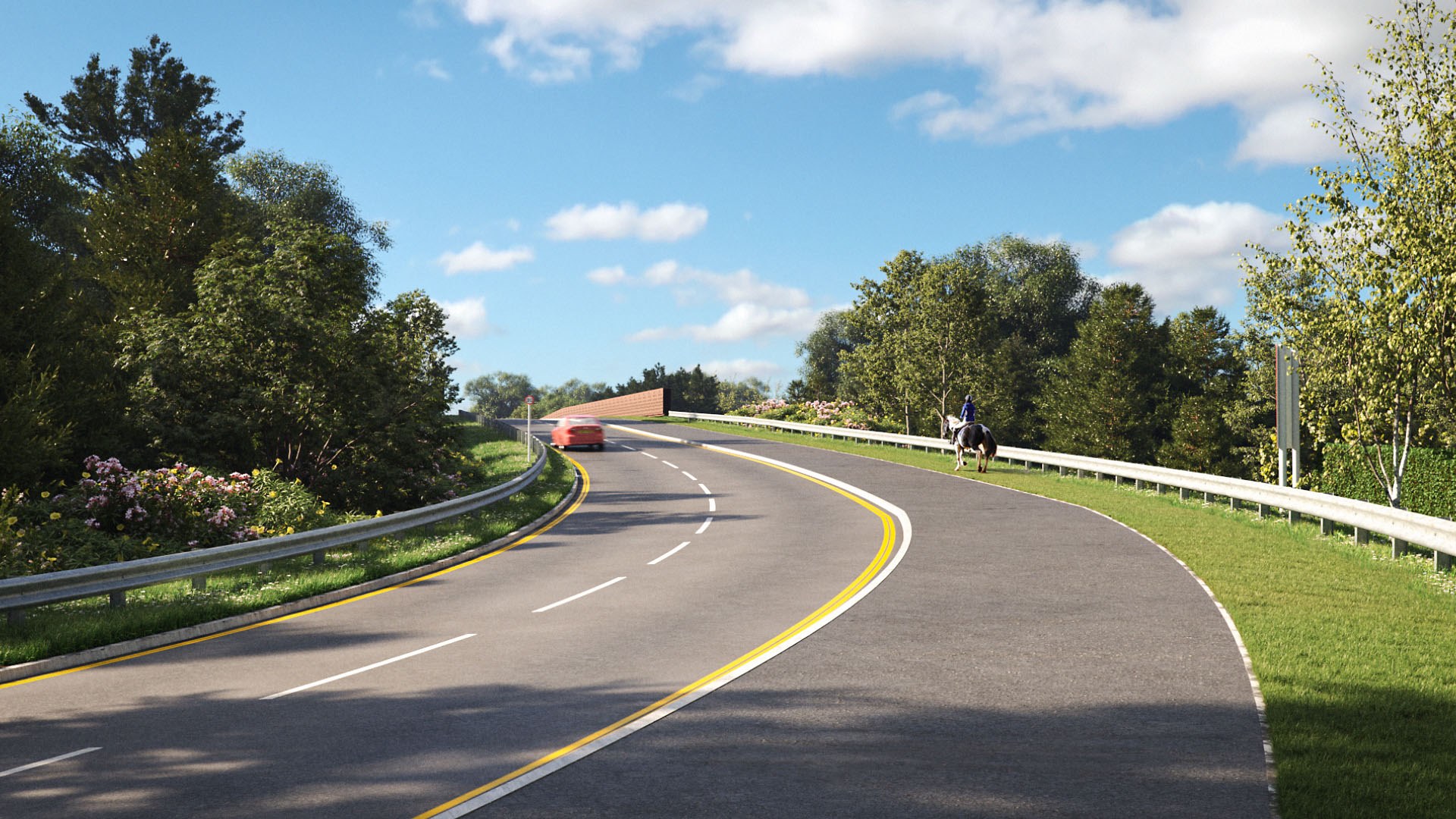
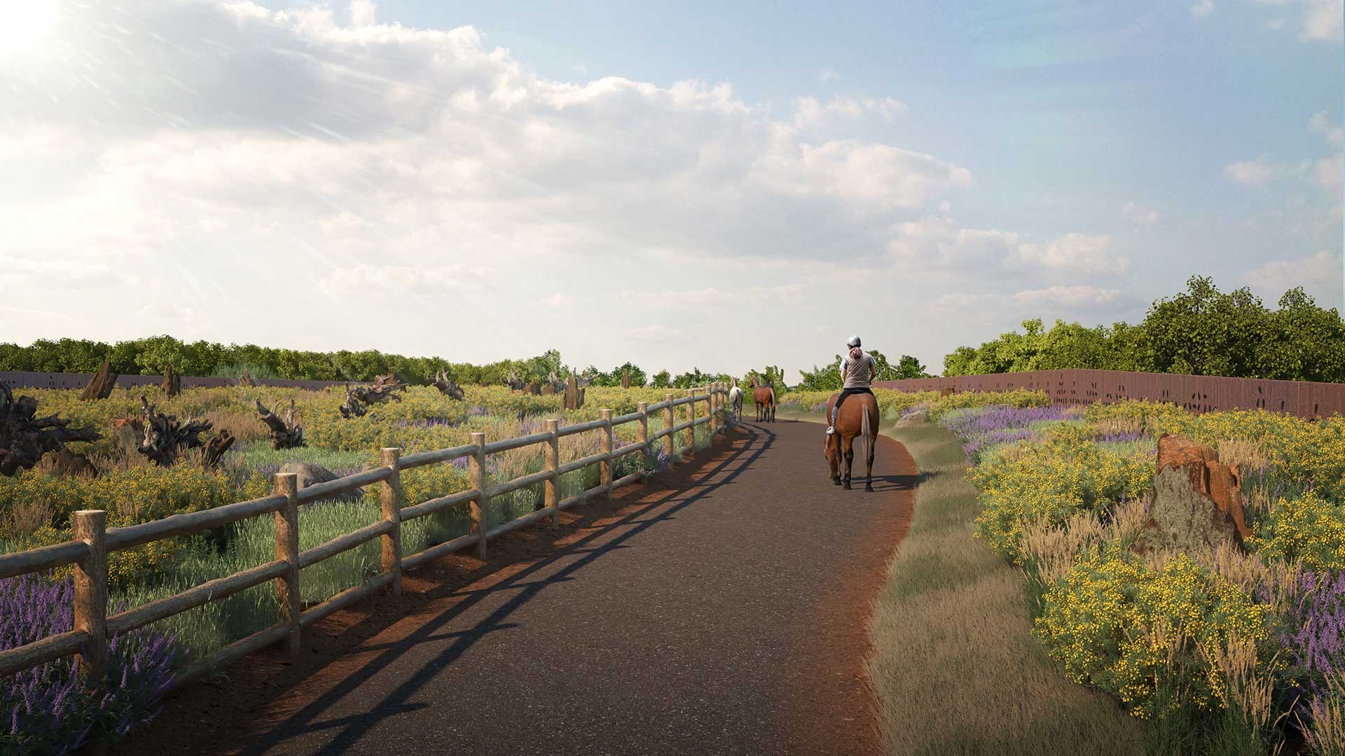
The M25 Junction 10 improvement scheme will include a new, safer route for pedestrians, cyclists and horse riders between Ockham Park and the Painshill junction.

Our improvements
We're creating a new 5km accessible route between Ockham Park and Painshill junction, bringing improvements to the local network of footpaths and bridleways.
The route will:
- connect with existing paths across Wisley and Ockham Commons
- include five new bridges over the M25 and A3
- include five new bridges over the M25 and A3, two of which cross at previously inaccessible points
Current footpath and bridleway closures:
- Bridleway 8 and footpath 11
- Footpath 13a
- Portsmouth Road between Ripley (B2215) and Temple of Bacchus
- Bridleway 12 and a National Highways footpath
Map of closed footpath and bridleways.
Use the Surrey Interactive Map (arcgis.com) plan an alternative route. Once you’ve opened the map, filter by Public Right of Way.
The route
Our route follows the new Wisley Lane link road. It crosses the A3 by a new bridge and gives direct access to the RHS Gardens at Wisley.
Then it runs alongside Wisley Common to the Cockcrow Heathland Bridge, where the path splits.
One route (west) leads through Wisley Common and over the M25 via Clearmount Bridge.
The other route (east) heads towards Chatley Heath, crossing the motorway via Sandpit Hill Bridge, the longest bridge in our scheme.
The paths merge at the new Redhill Road Bridge, just north of the M25. From there, the route follows the north side of the A3 along Seven Hills Road to the A245 at Painshill.
