 is an open platform for data-led insight and innovation to better connect the country

Our proposition
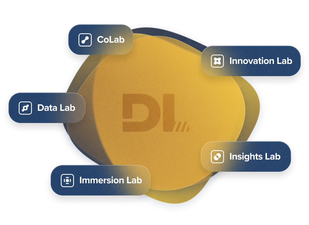
Digital Lab is delivering services to partners via five labs.
The purpose of the labs is to share valuable National Highways data, provide insights, create experiences, build connections, stimulate innovation and encourage collaboration across the mobility ecosystem.

Data Lab

Insights Lab

Immersion Lab

Innovation Lab

CoLab

Access our data services
This is the place where technology meets collaboration and where developers from all walks of life come together to explore, share ideas and learn.

- Report
- #ACCESSIBLETRAVEL
- #INCLUSIVITY
- #DIGITALTRANSFORMATION
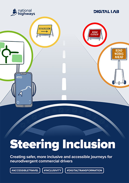
Steering Inclusion
Creating safer, more inclusive and accessible journeys for neurodivergent commercial drivers
Read our latest stimulus report to understand more about the lived experiences of bus, coach and fleet drivers who have neurodivergent conditions such as ADHD, autism, dyslexia and how these can impact mental health and wellbeing.
There are existing technologies and solutions that can be used to accelerate the changes required for neurodivergent drivers in the key areas of disruptive events, driver technology and employer support..
Navigating neurodiversity
Clearing the way to an inclusive and digital road network
How does an autistic driver feel when facing an unexpected road closure? How does a dyslexic driver plan their journey? Read our report which outlines how neurodiverse drivers, experience driving on the Strategic Road Network.
Become a digital partner
Our data is a powerful asset.
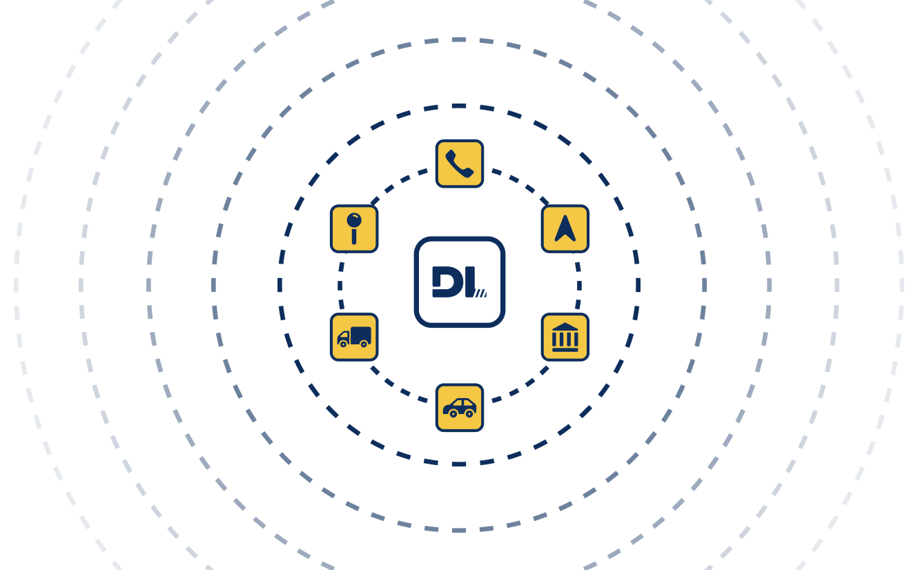
To ensure our data is driving improvements for all who use our Strategic Road Network, we want to ensure that it's publicly available, readily accessible and easily consumable. This is why we're committed to opening up our data to all partners across the mobility ecosystem.

Wayfinders
Wayfinder applications will have improved data feeds to provide safer, more sustainable, accessible and efficient journeys for their customers.
Wayfinders will be able to combine planned and real-time road data on changes across the SRN i.e. closures or speed restrictions to allow for informed decision making for road users.
Local authorities
Government and local authorities will have better visibility of events on the Strategic Road Network, including where these impact local authority roads. The use of this data will help improve the management of congestion due to closures and diversions, for both road users and the communities who live and work around our roads.
Location technology providers
Our data can help location technology providers to improve the geospatial accuracy of their data, for both software and mapping applications. This will improve the accuracy of information provided to customers and therefore their journey planning experience.
Telecommunications
Access to accurate and real-time geospatial data can enhance telecommunications organisations’ digital infrastructure and roadside traffic management tools, such as signs and signals. This improves the accuracy of information being provided to customers on our Strategic Road Network.
Car manufacturers
Car manufacturers can use our data to ensure that real-time updates on signage, speed restrictions, hazard warnings and road closures are fed directly into in-vehicle navigation systems. This data will improve the accuracy, timeliness and relevance of information available to drivers.
Freight, fleet and logistics
Our data on road limits and features, road closures and diversion routes helps freight, fleet and logistics organisations ensure that their drivers are on an appropriate route for their vehicle type. This improves journey efficiency, passenger safety and driver trust in route selection.
News and events
Steering Inclusion
Creating safer, more inclusive and accessible journeys for neurodivergent commercial drivers
- #ACCESSIBLETRAVEL
- #INCLUSIVITY
- #DIGITALTRANSFORMATION
13 March 2025
Data Partner Forum
email us, if you'd like to attend and learn about the new data services!
05 December 2024
Navigating neurodiversity
Clearing the way to an inclusive and digital road network
22 November 2024
Improving customer journeys
through data and digital partnerships

