Project profile: Congham Road Bridge
Congham Road Bridge carries St Andrew’s Lane over the top of the former South Lynn to Yarmouth branch line.
Share this article
Location: Congham, Norfolk
Project managed by: National Highways on behalf of the Department for Transport (DfT)
Status: Planning appeal approved by Planning Inspectorate
About the structure
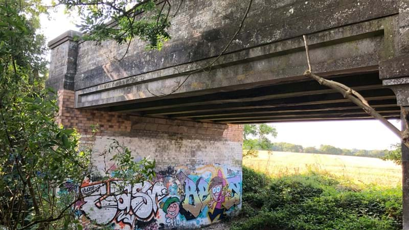
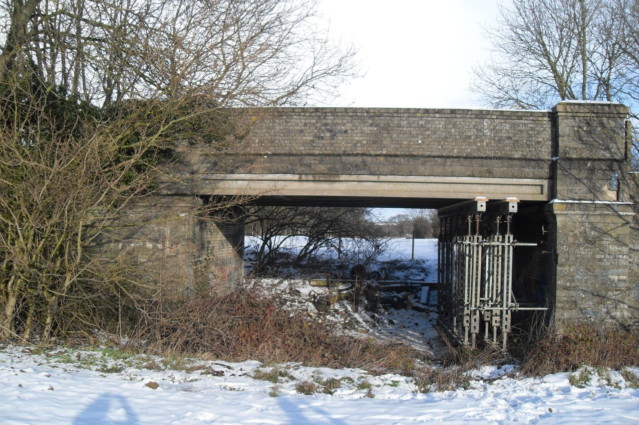
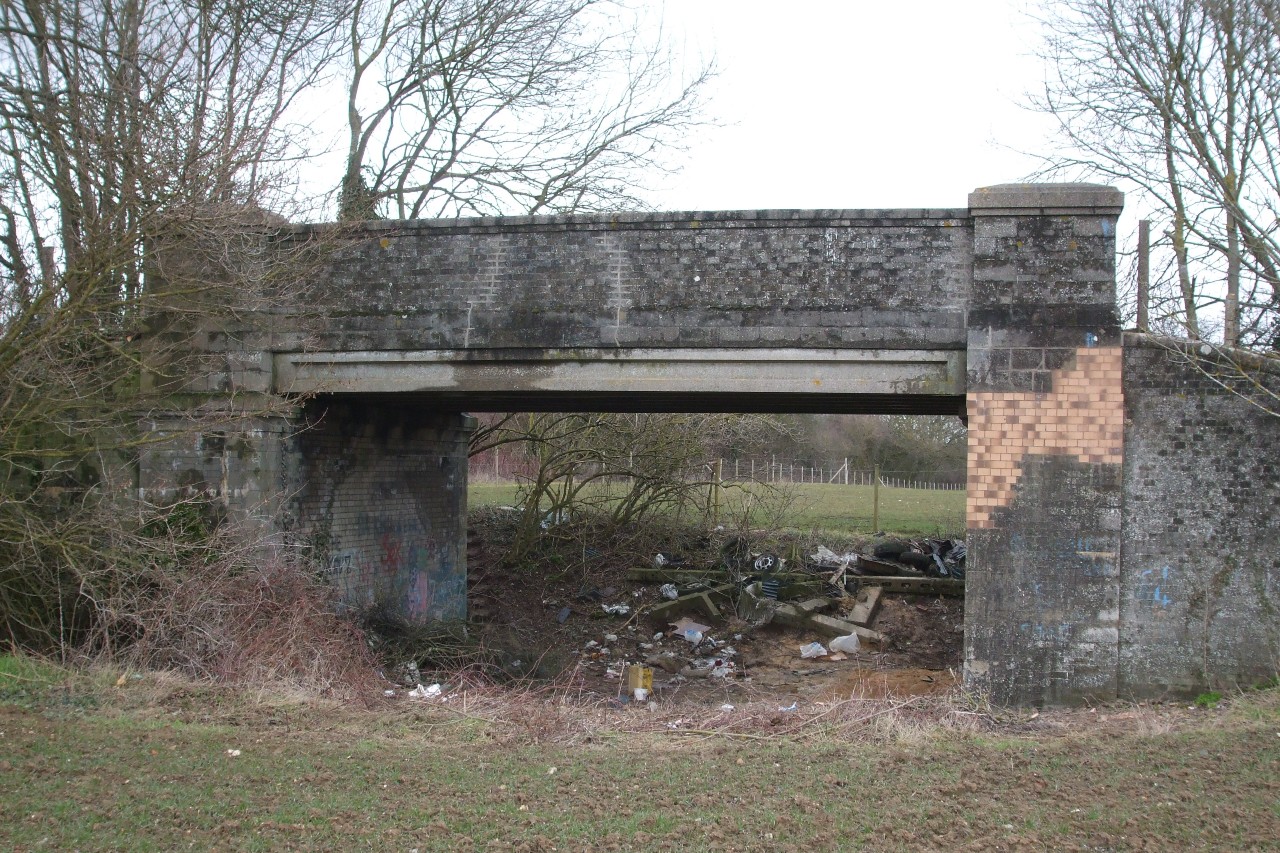
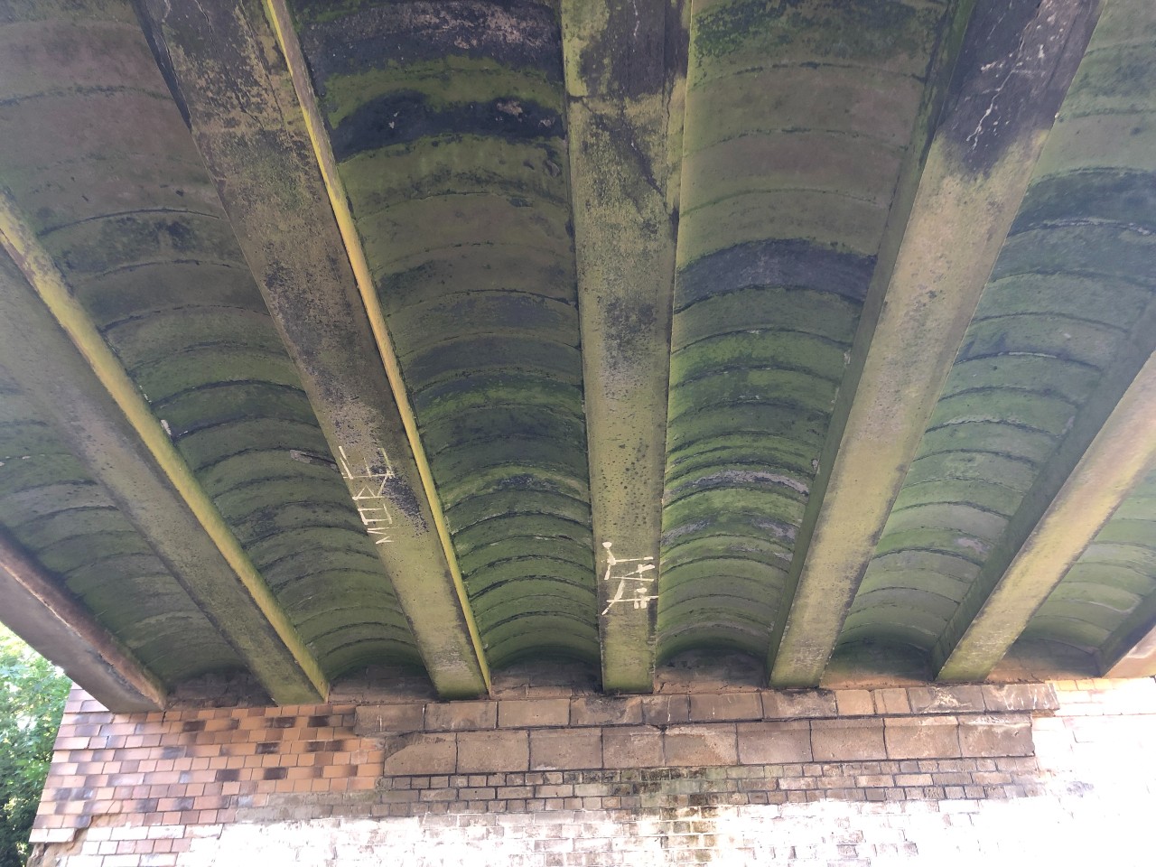
Congham Road Bridge was constructed in 1926. The single, square span bridge consists of seven concrete-cased rolled steel girders with precast concrete jack arches between them. The deck is made from steel beams with additional plates attached to them top and bottom, then encased in concrete to form an ‘I’ shape section. Precast arch units span the beams and sit on the bottom part of the ‘I’ shaped beams (see below). Concrete has been poured over these arches, and additional fill placed on top to form a road surface.
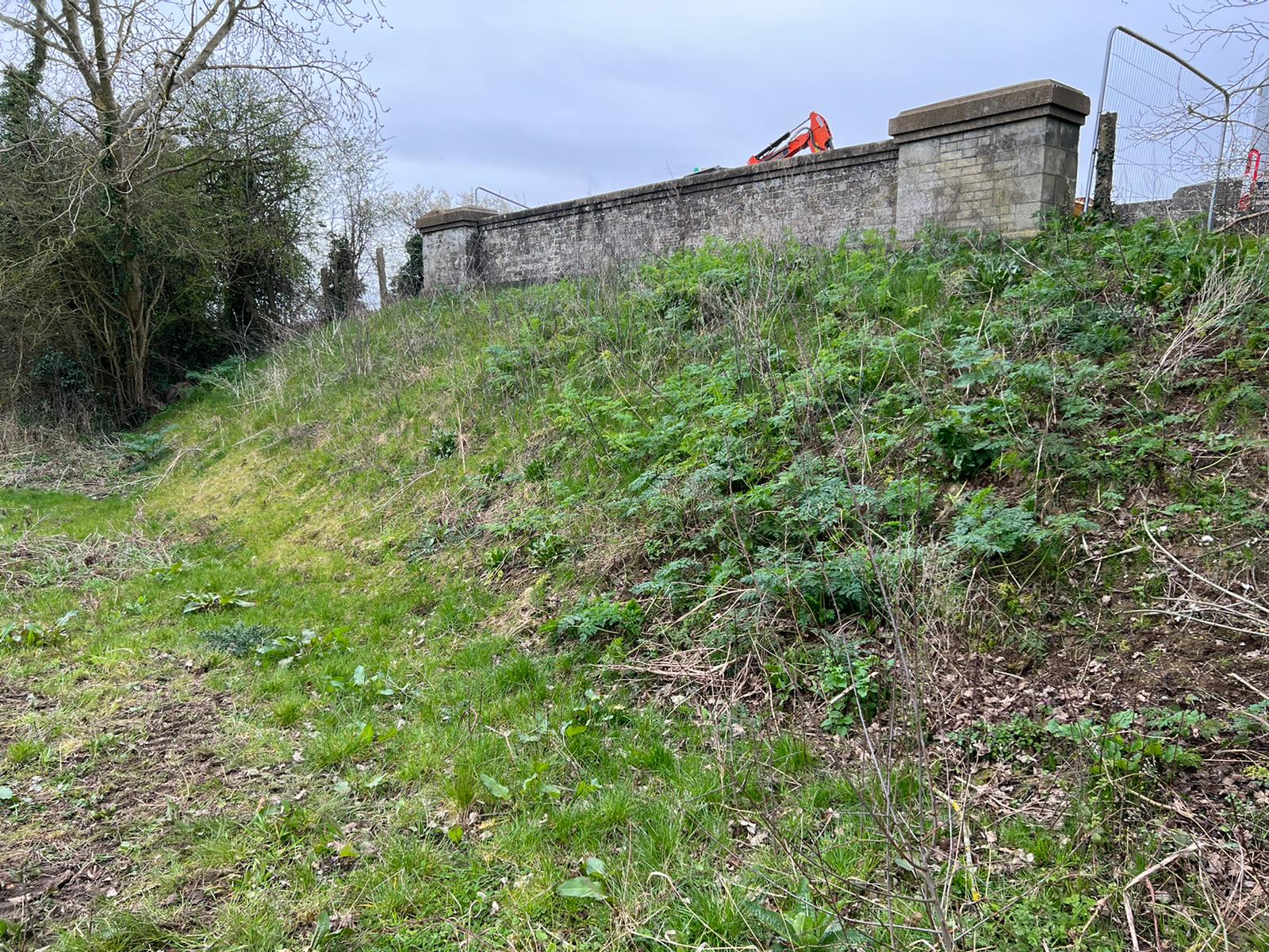
The deck is supported by abutments and wingwalls made from bricks. The road over the top is a single carriageway with grass verges and is known locally to be used by agricultural vehicles from local farmers. The underside of the bridge had suffered with fracture problems and had become a known fly-tipping spot (see images below).
(Taken in 2019 showing fractures in abutment after major repairs to strengthen the bridge in 2010.)
(Taken in 2019 the area beneath the bridge became a known area for fly tipping.)
Key issues and concerns
Before we took over management of the estate fractures were recorded in annual bridge examinations for years, and engineers raised their concerns for its long term use
In 2003 Norfolk council’s assessment recommended a 7.5 ton weight limit for the bridge, this was never applied by the highway authority.
(Congham bridge southern side December 2009 showing tree growing into wingwall and propping of the deck)
In 2009, in three months gaps in the brick work of the abutments supporting the deck had widened from 17mm to 25 mm.
Under BRB (Residuary) Ltd, management urgent repairs were carried out to address the structural issues.
Immediate work included propping the deck once on-site contractors replaced bricks in the abutments and repaired the fractures. A tree’s inward-growing roots growing were also causing damage and were removed. At the time workers on the ground felt significant movement in the bridge when Heavy Good Vehicles (HGVs) and agricultural vehicles travelled over it.
(Congham bridge southern side February 2010 showing repairs to abutment)
Under our management we increased inspections, and photos showed movement was happening again, causing further deep fractures in the abutments. Despite the ‘fair’ description given in the 2003 assessment the bridge had multiple issues in our view. Our key concerns were the following:
Abutments
(Congham bridge east abutment October 2020)
(Congham bridge east abutment February 2019)
The abutment fracturing was a result of ongoing movement. This could have either be linked with the changing ground conditions beneath the wingwalls or the lack of movement bearings at the beam supports on the deck.
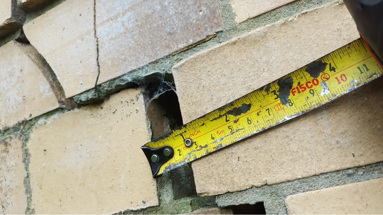
(Movement of brickwork section at east abutment up to 25mm from 17mm on north side February 2019)
The damage was repaired in 2010 by our predecessor, however fractures quickly returned and can be seen clearly in the photos of the brick work (see images above) – showing that the underlying issue of the movement needed to be addressed, to ensure the bridge remained safe for use by the public.
Beams
The concrete encasement around the girders was fractured and spalled, with obvious signs of corrosion of the girders within on each of the seven beams (see example pictures below). The condition of the steel girders was key in identifying the amount of weight the deck can take. The more loss of sections to corrosion, the weaker the beams will become – ultimately leading to failure in the bridge.
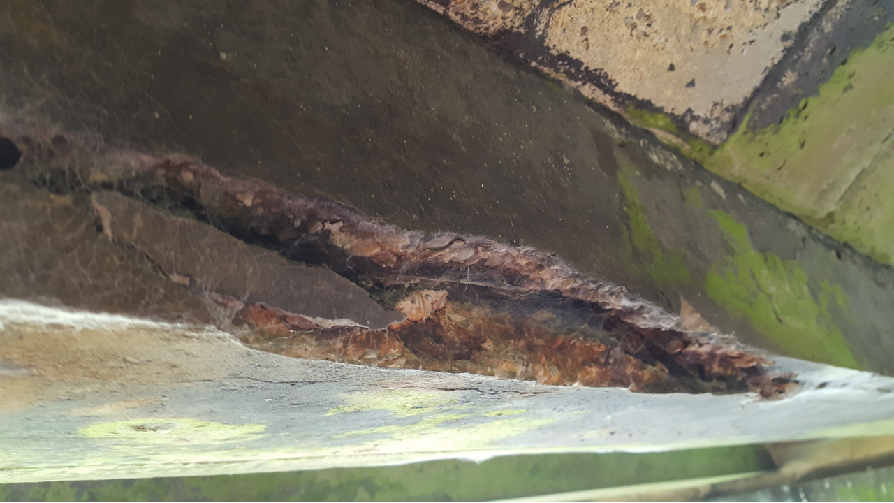
(Spalling to Beam No.4_February 2019)
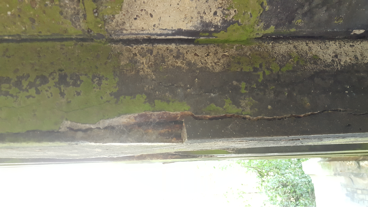
(Spalling to Beam No.3 February 2019)
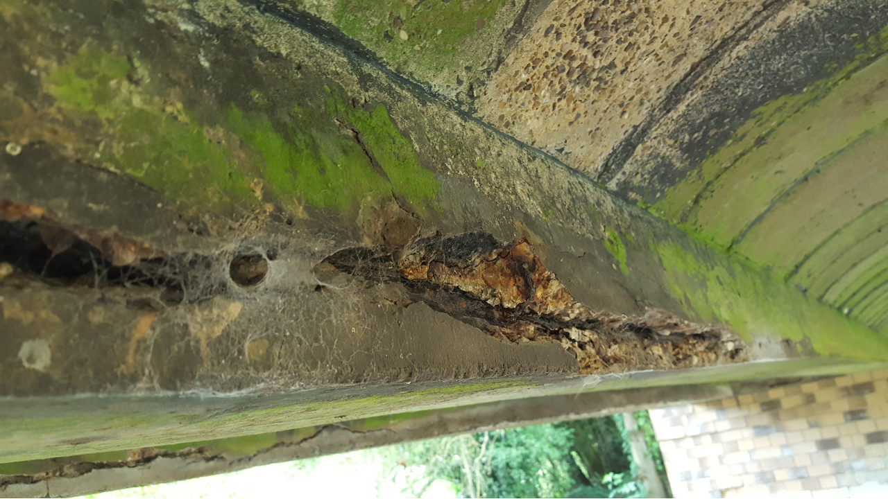
(Spalling to south face of Beam No.2 February 2019)
We recommended infilling beneath the deck as a cost-effective and long-term safety solution to the ongoing problems so the bridge could keep being used safely. The work would also address the recent anti-social behaviour problems of fly-tipping and graffiti (see image below).

Strengthening options
If the movement was a result of the ground conditions changing beneath the wingwalls, then a repair option could’ve been to dig beneath the walls for the installation of concrete foundations, or more modern grout or polyurethane foam injection option could have been used.
Had the movement been due to the deck being restricted from movement relative to the abutments, then the creation of movement joints in the masonry would’ve helped with the fracturing issue.
Unfortunately, neither of these options would help resolve the road’s historical capacity issues and corrosion of the steel deck.
We consulted with both the highway authority and the local planning authority about our plans to infill the bridge.
King’s Lynn and West Norfolk Borough Council had no objections to our work. There were no known active travel plans and there are still none linked with the structure.
What stage is it at?
Infill was completed in March 2021 at a cost of £126,817.34. After checking for infill settlement, we completed phase two of the works, a top up of the infill, in May 2022.
Our work restores the bridge to its full capacity of 40 tonnes, meaning it can be used safely by the public. We will continue to carry out annual checks of the structure.
Our retrospective planning application was refused in October 2023. After careful consideration, we did not feel the council’s decision adequately reflected the safety concerns raised and lodged an appeal with the Planning Inspectorate. The Planning Inspectorate allowed our appeal in July 2024 and quashed the enforcement notice. View the Inspectorate’s full decision here.
Find out more about our approach to infilling.
History
The rail route underneath the bridge historically was part of the former South Lynn to Yarmouth branch. One of four smaller branch lines, later becoming The Midland & Great Northern Joint Railway (M&GN). At 183 miles the M&GN train system was the longest of the joint railways, linking Great Yarmouth and Sutton Bridge – closing in 1959.
In 2004 BRB (Residuary) Ltd, who managed the Estate at the time, approached Norfolk County Council (NCC) sought transfer of the bridge, along with six other bridges within the Estate. NCC took on ownership of three structures in 2012 – they include Windmill Lane Bridge, near Trimngham Beach, Shereford Road Bridge, near Fakenham and Hemsby Bridge, near Winteron Beach.
(Windmill Lane)
(Hemsby Bridge)
(Shereford Road)
